

Spatial on Saturdays No. 4
It's snowing geospatial, FOSS4G FOMO, and funding rounds for two early-stage geospatial companies.

By the numbers
250,000
Number of rows that an unnamed tool maxed out at in a demo built by Snowflake Field CTO
12,614,154
Current number of downloads of the Apache Sedona project as of June 30, 2023 (source)
7.9%
Percentage of downloads of Apache Sednoa that took place in the last 30 days
Snowflake leans into geospatial
The annual Snowflake Summit featured geospatial tools. At the Summit in Las Vegas, one of the major announcements was their Native App Framework that allows developers to deploy scalable apps on the Snowflake infrastructure. Geospatial was one of the stars with announcements and demos from CARTO and Mapbox.
Snowflake is leaning into geospatial. An interview released last week with Fawad Qureshi, Snowflake Field CTO, describes their optimism about geospatial:
The GIS technology and data analytics worlds have remained really separate," he says, noting that many GIS tools were not built for cloud data warehouse scale analytics. ("I was using a GIS software which I won't name for a demo and it gave me the error that it would not connect to a table with more than 250,000 rows. But six weeks ago, for a telecom client, I was running a query on 17 trillion rows and that query came back in six minutes. So the scale is completely different," he emphasizes)
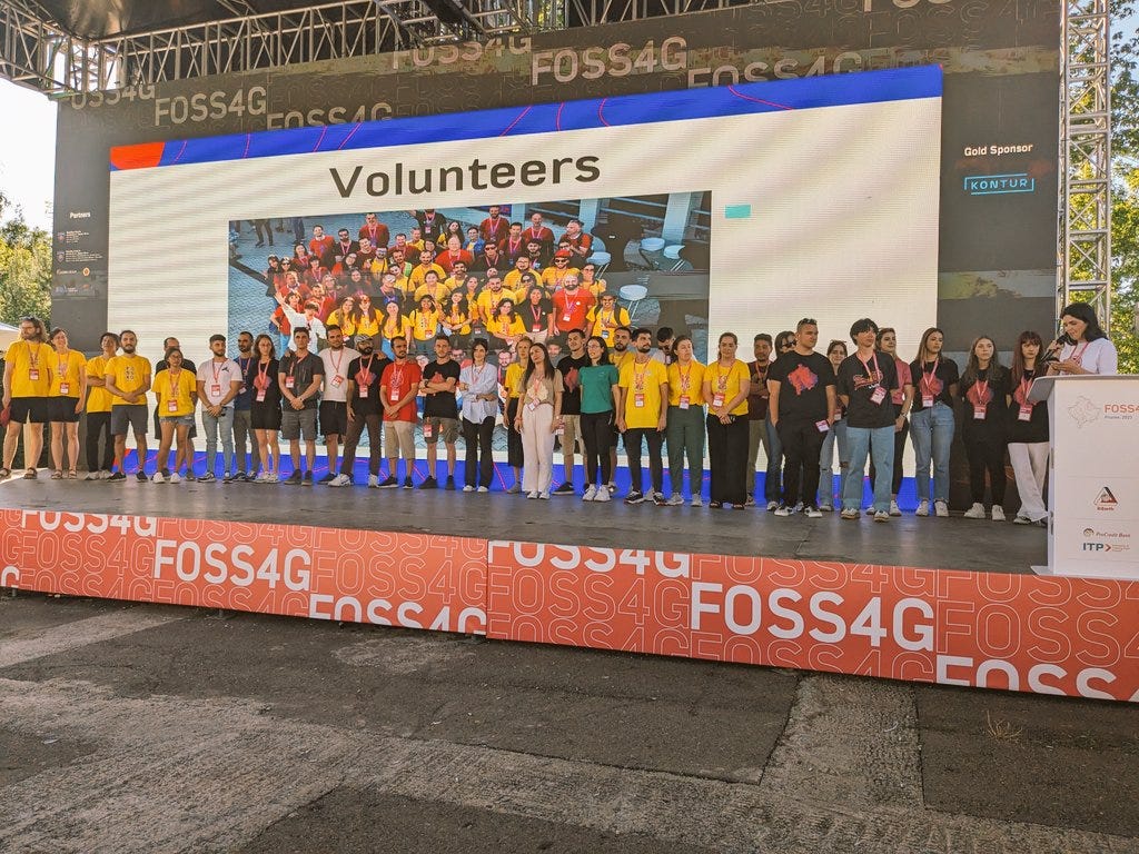
FOSS4G wraps up in Kosovo
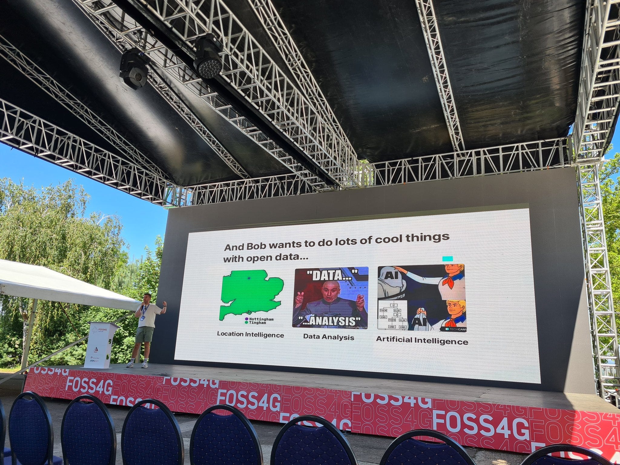
The annual conference took place in Prizren this past week. The geospatial world was focused on Prizen, Kosovo with five days full of presentations, discussion sessions, planning sessions, and a lot more judging by the bits I was able to catch up on via Twitter. Still sifting through the recorded talks but you can find the current set of recorded live streams here and more snapshots on Twitter.

Why I switched my mail and calendar apps with Setapp
In the past two weeks, I have switched my email to Canary Mail and my calendar (and most tasks) to Structured. Both apps and 240+ others, are available in Setapp, a platform to access premium versions of all these applications.
Start your free 7-day trial (and support this newsletter) by clicking the button below.

The above are affiliate links. I only recommend things I use and I only share things that I would recommend to you in any other scenario. I may receive a small commission from a purchase at no extra cost, and you may receive an offer as listed above.
Two companies snag early funding
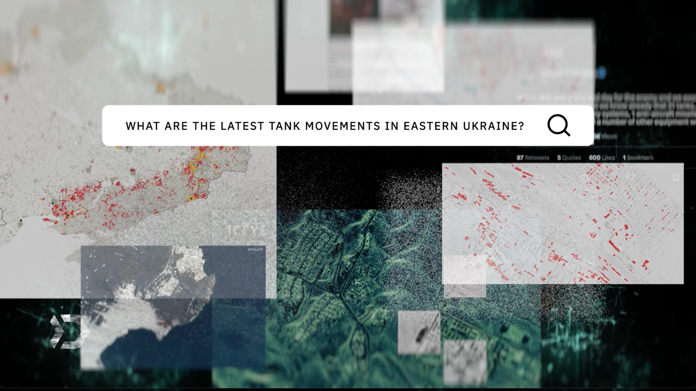
Danti is building a search engine for geospatial data. Using natural language (unclear if that means LLMs or not), Danti is building a platform to find and access geospatial data. They landed $2.75 M in pre-seed funding and looks like they are primarily targeting the intelligence space.
Wherobots is taking Apache Sedona to the next level. The Arizona-based company, founded by Mo Sarwat and Jia Yu who also started the Apache Sedona open-source project, closed a $5.5 M seed round to take Apache Sedona further and into the enterprise. They also launched an early version of their product which you can sign up for here.
Open source vs. GIS
I put out a new video this week on my views on open source and traditional GIS. I’ll work on a behind-the-scenes post about the video where I will try to dive deeper into the ideas here, but for now, take a look and I’ll start a chat about this topic too.
Thanks!
If you have something you want to share or a job you want to promote you can e-mail me here. Or if you want to sponsor a newsletter, video, or post, check out this link to get in touch.