Spatial on Saturdays No. 8
The year ahead (in geospatial and for me), some industry news, and a survey
By the numbers
2,834,589
H3 downloads in the last 30 days
2
Geospatial companies acquired this past week
2,344
Number of geospatial companies on Crunchbase
I’m back
After a long pause on both this platform and on YouTube, it is great to be back. I realize I didn’t share why I was taking a break, but through the end of 2023 I was finishing a pretty big project:
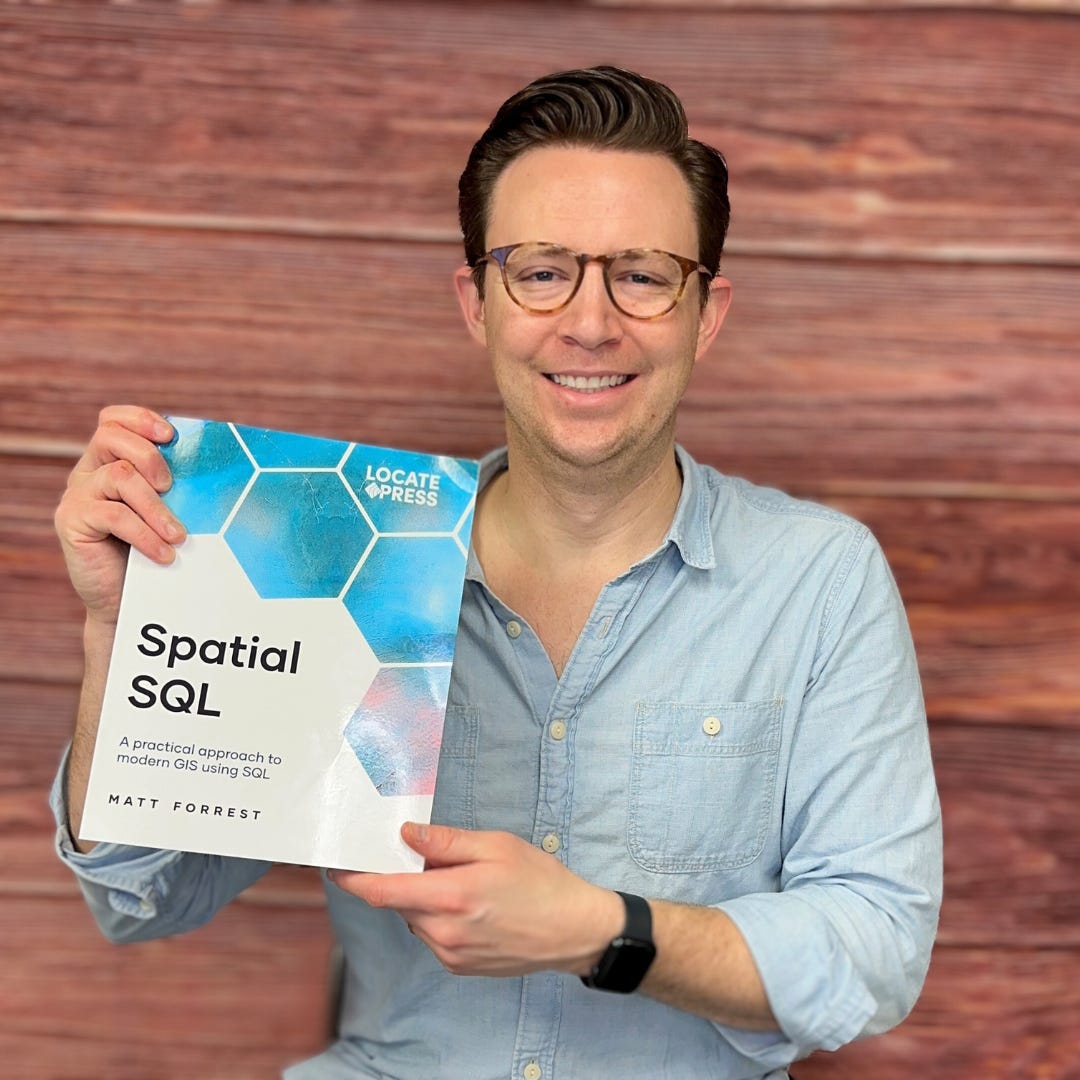
My new book, Spatial SQL, launched appropriately on PostGIS day and is available in both e-book and PDF on Locate Press and Amazon. I’ll write a post shortly about the book and my experience writing it, but all said I am happy it is out in the world!
A survey (I need your help)
One of my goals for this newsletter is to provide insights on the geospatial community and companies that operate within it and near it. While different from much of my more technical content, I feel that this is an avenue that has some coverage via various reports and whitepapers, but not any that provide insight and ideas from those in the field. So I have been quietly collecting a database of geospatial companies, but of course, I can only get so far scouring the internet, so I need your help.
I am launching a Geospatial Industry Companies survey in 2024. I need your help to complete it.
My goal is to bring together a comprehensive list of companies focused on geospatial including:
Technology and software providers
Services and consulting
Open-source projects and organizations
Data and imagery providers
Software using geospatial technology
Your help would be greatly appreciated. My goal is to share these insights by highlighting the companies and organizations and creating a report to get a pulse of the industry.
Geospatial @ Coursera
Check out some of my geo-focused favorites from Coursera:
Geographic Information Systems (GIS) Specialization from UC Davis:
Spatial Data Science and Applications from Yonsei University:
Python for Everybody from University of Michigan
Remote Sensing Image Acquisition, Analysis and Applications
Two big acquisitions
The past week saw two geospatial companies be acquired: Locana and Safe Software, creators of FME
Safe Software, a 30-year-old Canadian data-integration software company, has received a strategic investment from JMI Equity, an American growth-stage investor. This deal marks Safe's first external investment, with JMI acquiring a minority stake. The company, profitable since inception with CAD $80 million in annual revenue, aims to hit CAD $250 million in annual revenue in five years.
Source: BetaKit.
TRC Companies, Inc. has acquired Locana, a leader in enterprise geospatial solutions. This marks a significant strategic expansion of TRC's digital and geospatial capabilities. Locana's expertise in location-based solutions across various sectors, including utilities and telecommunications, reflects TRC's ambition to become a top global technology firm and indicates a growing trend of integrating geospatial technologies in various industries.
Source: Business Wire.
Other news of note
Planet Labs plans to participate in two major investor conferences. Ashley Johnson, CFO and COO, will speak at Needham's 26th Annual Growth Conference, and Kevin Weil, President of Product and Business, will appear at Citi’s Global Industrial Tech and Mobility Conference. This move is significant for Planet, emphasizing its commitment to growth and visibility in the investor community, possibly hinting at future growth plans or partnerships.
Source: Yahoo Finance.
Quantas Labs secured $550K in seed funding for its AI-driven erosion forecasting technology.Developed by 20-year-old founder Alex Pourquery, it combines advanced AI techniques to predict erosion impacts, crucial for sustainable land management.
Source: Yahoo Finance.
Two more quick reads
This article by Maryam Rabiee from the World Bank highlights how countries and cities are making use of a variety of geospatial datasets to monitor and impact their sustainable development goals.
And one one of my favorite topics, this post on Towards Data Science by Ben Feifke is one of the better explainers I have found on spatial indexes and the differences between them. Well done!
What to expect in 2024
This year I am focusing on a few different projects and avenues. Here is a peek of the year ahead:
This newsletter
Getting back to regular weekly posts and a few other articles as well.
YouTube
More videos on a more regular basis, the first two from this year are already out:
LinkedIn
Consistency, but more of the same.
Do More Data
An area I want to explore this year are the intersections between the modern data stack and geospatial, so I did a soft launch of a new LinkedIn group and website on the topic called Do More Data. More coming soon!
Modern GIS courses
Still under development but keep an eye out for some updates this spring.
Organization and productivity
I will share more as I dive into this area but I have been reading/watching some different resources to work on balanced productivity. Check out Ali Abdaal on YouTube if you want to follow along. Step 1: if it isn’t in your calendar, it doesn’t exist.


